Frankfurt · The Squaire
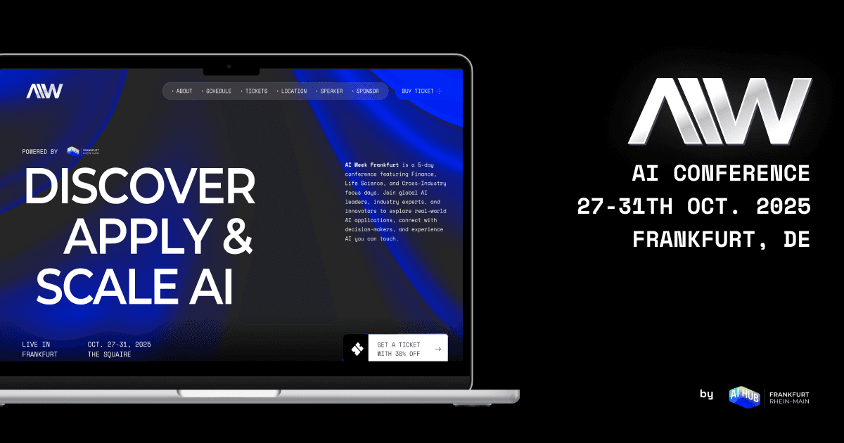
AI Week Frankfurt is a five-day applied AI conference in Frankfurt (The Squaire) running Oct 26–30, 2026, featuring Finance, Life Science, and Cross-Industry AI days. It brings together 5,000 visitors, 200+ speakers, and leaders from industry, policy, and technology to explore real-world AI applications, partnerships, and market-ready solutions. The event is designed for decision-makers, builders, and practitioners looking to translate AI strategy into tangible outcomes, with a strong emphasis on practical case studies and actionable insights. What to expect - A global stage hosting AI leaders, policymakers, and engineers focused on delivering measurable business impact - Industry-specific days (Finance, Life Science, Cross-Industry) to surface domain-relevant use cases and ROI - Keynotes, panels, and talks that translate research into practice, plus real-world demonstrations and live AI showcases - Hands-on workshops and training sessions to deepen skills in data, AI deployment, and governance - Substantial networking opportunities to form partnerships, explore pilots, and connect with potential vendors and customers Format and experience - Five days of programming at The Squaire, focused on practical outcomes, collaboration, and market-building strategies - A mix of keynote sessions, breakout tracks, and interactive exchanges designed for executives, product leaders, and technical practitioners - Ample time allocated for partnership discussions, demos, and peer learning across finance, healthcare, manufacturing, and beyond Who should attend - C-suite, VPs, and directors driving AI strategy and adoption - Data scientists, ML engineers, and AI product managers seeking real-world use cases - Government/regulatory professionals and researchers interested in AI policy and industry impact Logistics - Location: The Squaire, Frankfurt - Dates: October 26–30, 2026 - Registration: Site indicates a waitlist and ongoing updates; visit the official site for the latest details and registration information Why this matters AI Week Frankfurt aims to accelerate practical AI adoption by showcasing tangible outcomes, fostering partnerships, and highlighting scalable technologies. It’s a must for teams evaluating AI initiatives, vendors seeking pilots, and leaders wanting to stay ahead of industry shifts. Registration and full program details are available at the event site: https://ai-week-frankfurt.com